MultiImage
Warning
This is experimental; not actively maintain and might not work.
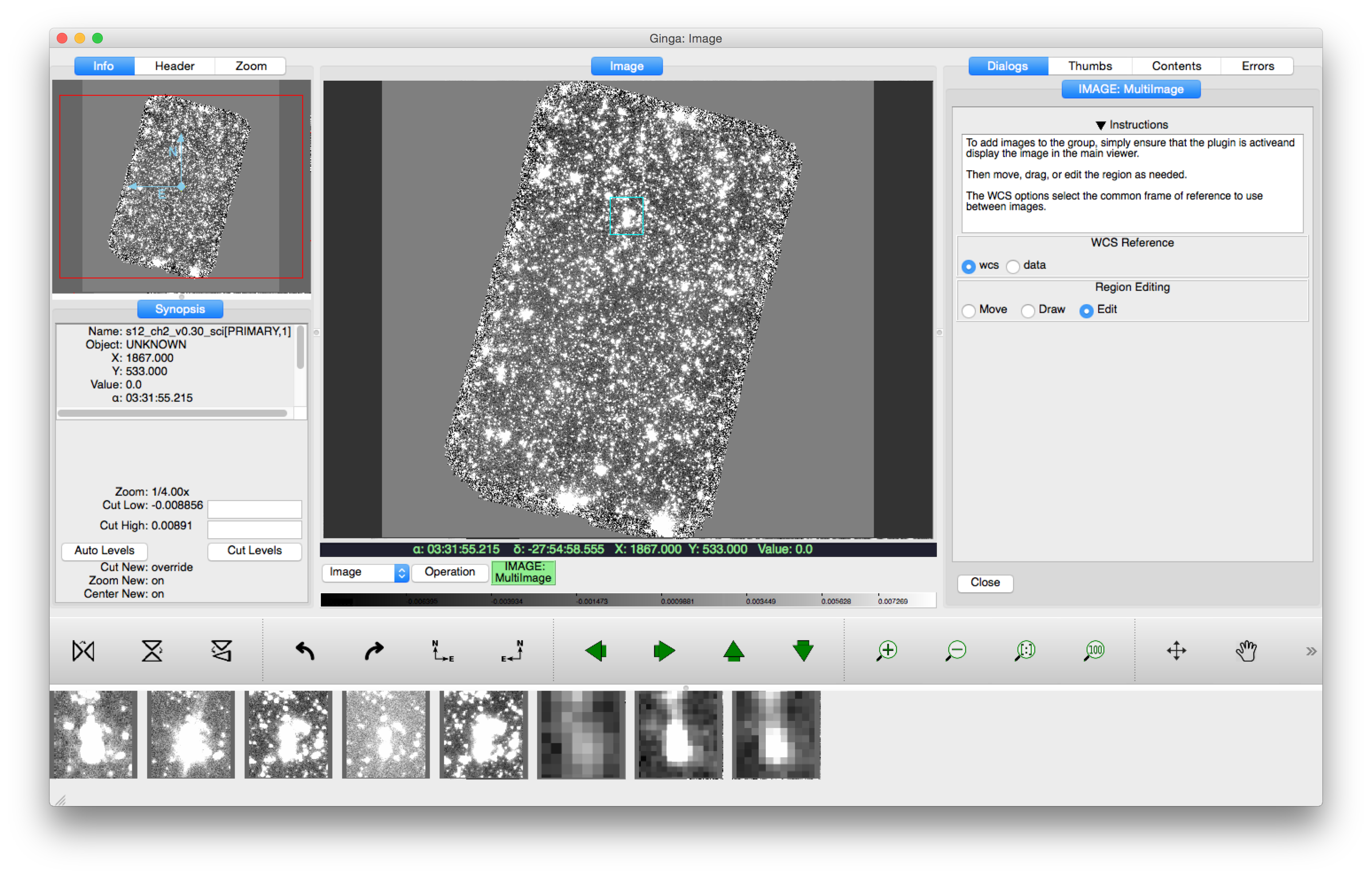
This local plugin is used to view a selectable region of sky in multiple images. A box on the image in the main display defines the right ascension/declination region of sky to view. Along the bottom, postage stamps of that same region from other images loaded into Ginga are displayed. If the box size and position change, all the postage stamps update dynamically.
Options include fixing the region either to sky coordinates, the default, or to pixels (data). Standard editing controls over the box are also available.